Discover the Power of Geospatial Technology
In today’s rapidly changing world, the power of geospatial technology is transforming the landscapes of various fields from urban planning and environmental management to disaster response and resource management. By harnessing geographical information systems (GIS), satellite imagery, and spatial analysis, professionals can make informed decisions that impact communities and ecosystems alike. Whether you’re a student, researcher, or industry leader, having an understanding of geospatial technologies can open doors to innovative solutions and collaborative opportunities.
Within this blog post, we aim to highlight several must-read books that delve into the intricacies and applications of geospatial technology. Each title not only provides foundational knowledge but also practical techniques that will empower readers to navigate and utilize these powerful tools effectively.
Featured Books Reviews & Insights
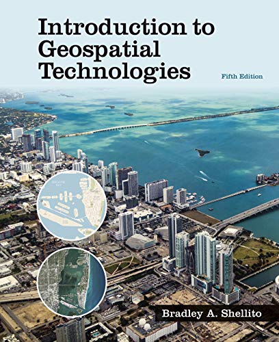
1. Introduction to Geospatial Technologies
This comprehensive guide by W. H. Freeman provides readers with a profound understanding of the fundamental concepts of geospatial technology. The book covers everything from GIS and GPS systems to data collection and analysis, making it paramount for anyone entering the field. Practical examples and exercises complement theory, enhancing the reader’s learning experience. An essential resource for both novices and seasoned professionals, it lays a foundation that supports further exploration into specialized areas of geospatial technology.

2. Geospatial Technology: Application in Water Resources Management (Advances in Science, Technology & Innovation)
This book stands out for those engaged in the vital field of water resources management. By integrating geospatial technologies into practical frameworks, it offers insights into optimizing water use and environmental conservation. The rigorous approach leverages real-world case studies to illustrate successful applications, making it both relevant and essential for environmental scientists, hydrologists, and policymakers.

3. Introduction to Geospatial Technologies (Alternate Edition)
Another edition of the popular introductory text, this version continues to equip readers with the foundational knowledge required to master geospatial technologies. It presents up-to-date practices and technologies, making it a sensible purchase for educational institutions and self-learners alike. Clear explanations paired with engaging visuals make complex concepts accessible.

4. Introduction to Geospatial Technologies (3rd Edition)
This updated edition features more recent advancements in technology and best practices in the field. Comprehensive and meticulously structured, it offers greater insights into GIS methodologies, software applications, and real-world scenarios, making it a fantastic addition for students and professionals aiming to bolster their understanding.

5. Introduction to Geospatial Technology
This title stands out by simplifying complex material. It’s ideal for beginners who are eager to delve into the practical aspects of geospatial technology. The language used is approachable, ensuring that readers can engage with the content without feeling overwhelmed. It’s perfect for entry-level understanding.

6. Introduction to Geospatial Technology, 6e
This sixth edition elaborates on various contemporary applications of geospatial technologies. With a focus on hands-on learning and real-life case studies, readers will find plenty of opportunities to apply concepts learned through chi-square examples and graphical representations. An excellent choice for individuals looking to expand their knowledge and practical skills.

7. Loose Leaf Version for Introduction to Geospatial Technology
For those who prefer a flexible approach, this loose-leaf version is perfect. It allows for easy organization and customization of study material. The content remains robust, covering all primary aspects of geospatial technologies, making it a great choice for collaborative learning environments or individual study.

8. Learning Geospatial Analysis with Python – Fourth Edition
This remarkable resource teaches readers how to harness the power of Python for geospatial analysis. It encompasses practical techniques crucial for modern GIS and remote sensing tasks. Perfect for developers and analysts looking to refine their programming skills while applying them to real-world geospatial problems.

9. Integrated Geospatial Technologies: A Guide to GPS, GIS, and Data Logging
This guide is valuable for professionals involved in the development and integration of GIS systems. It covers a broad spectrum of topics, including GPS technology and data logging, making it essential for engineers and systems designers aiming to build sophisticated geospatial solutions.

10. Introduction to Geospatial Technologies (Student Edition)
Aimed at students, this edition provides an accessible way to understand various geospatial concepts. It facilitates learning through interactive activities and problem-solving approaches, allowing students to engage deeply with the material, laying a strong foundation for their future careers.