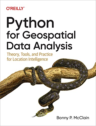
1. Python for Geospatial Data Analysis: Theory, Tools, and Practice for Location Intelligence
This insightful book by Bonny P. McClain is a treasure trove for anyone looking to leverage Python in geospatial analysis. It unpacks both the theoretical aspects and practical tools essential for location intelligence. With a focus on real-world applications, this book guides you through data manipulation and visualization, making complex topics accessible. Perfect for both beginners and seasoned analysts, it sets a strong foundation in geospatial data handling.
2. Geospatial Data Science Essentials: 101 Practical Python Tips and Tricks
Milan Janosov’s book is a delightful read, packed with 101 practical tips that any data scientist will find invaluable. From efficient coding practices to advanced visualization techniques, each tip is crafted to enhance your ability to work with geospatial data. The user-friendly format ensures that you can easily apply these tips, making it an essential guide for both novice and expert users who wish to master Python for data science.
3. Learning Python for Data Analytics: A Practical Approach to Using Python for Data Analysis and Visualization
Thompson Carter’s “Learning Python for Data Analytics” offers a comprehensive guide to harnessing Python for data analysis and visualization. It’s structured to make complex concepts more digestible, featuring practical exercises and real-time examples. Whether you are just starting out or looking to refine your skills, this book enables you to transform raw data into insightful visualizations, thereby driving informed decisions.
4. Tricks for Geospatial Data Analysis in Python – Map-based Data Visualization and Analysis Method Using GeoPandas and Folium
Rin Sakakuni’s book dives into effective strategies for visualizing and analyzing geospatial data using GeoPandas and Folium. This Japanese edition emphasizes practical examples and hands-on learning, making it easier for readers to understand and apply mapping techniques. The clear instruction, along with useful tips, makes this a fantastic resource for anyone aiming to enhance their data visualization toolkit.
5. Python Tips for Data-Driven Urban Planning and Public Policy Analysis
This enticing title offers readers a deep dive into using Python for urban planning and public policy analysis. Focusing on how to visualize urban data effectively, this book highlights ways to support policy decisions using Pandas and GeoPandas. It’s a vital resource for public administrators and urban planners who wish to utilize data for sustainable development and strategic planning.
6. Tips for Interactive Map Creation and GIS Data Analysis in Python
In this informative read, the author explores the essentials of interactive map creation and GIS data analysis using Python. The techniques discussed here will help you to visualize geospatial information in engaging ways, making your data analysis more impactful. It’s an excellent guide for practitioners who want to innovate in their data presentations.
7. Python Data-Driven Urban Development Planning Tips
This book aids readers in analyzing urban data through Python to enhance sustainable development strategies. It merges practical data analysis with innovative visualization techniques, enabling users to devise effective solutions for urban planning challenges today. This guide is perfect for anyone in the field of urban development looking to implement data-driven decision-making.
8. Data Science mit Python: Eine kompakte und leicht-verdauliche Schritt für Schritt Einführung in die Datenanalyse mit Python
Dr. Jürgen Brauer’s compact guide in German makes data science approachable for German-speaking audiences. With clear explanations and structured methodologies, this book serves as an efficient introduction to data analysis with Python. It offers practical insights that not only arm readers with technical skills but also foster a deep understanding of data science concepts.
9. Iterate Over Features to Mask a Raster File: Spatial Analysis: Raster Masking and Feature Statistics
This resource by Phatt Haungprakhon is an insightful read for those involved in raster data analysis. It provides clear steps for performing spatial analysis techniques to mask raster files, crucial for accurate data interpretation. This economical buy is a quick-and-practical addition to your data analysis toolkit.

